It’s not just the storms you need to worry about anymore. For millions of Americans living near the water, the tide itself is becoming a threat. National Oceanic and Atmospheric Administration (NOAA) scientists are warning that 2026 could bring a "double whammy" of extreme high-tide flooding to communities along both the East and West Coasts. The culprit? A likely return of El Niño, combining with decades of rising seas to push water levels over their edges.
Here’s the thing: this isn’t about a hurricane making landfall. It’s about what happens on a calm Tuesday afternoon when the moon pulls the ocean higher than usual. With baseline sea levels already elevated, those routine high tides are turning into flood events. And if the forecast holds, we’re looking at significantly more of them next year.
The Forecast: Why 2026 Is Different
The numbers are coming in hot. According to NOAA’s Climate Prediction Center, there is at least an 82% chance that El Niño will emerge by July 2026 and stick around through February of the following Northern Hemisphere winter. That’s a strong probability for a climate pattern that can shift global weather dynamics.
We’ve just come out of a La Niña phase—the cooler side of the El Niño–Southern Oscillation (ENSO) cycle—which kept things relatively neutral. But the pendulum is swinging back. When El Niño develops, it warms the Pacific Ocean waters, particularly off the coast of South America. This warmth doesn’t stay put; it ripples outward, altering atmospheric pressure and wind patterns across the globe.
For the U.S., this means warmer-than-average temperatures in the north and wetter conditions in the south. But for coastal residents, the immediate concern is hydrological. As William Sweet, oceanographer at NOAA, puts it, "The first punch is decades of sea level rise, which has waters close to the brim in many coastal communities. And now with this second punch – a strong El Niño – coastal communities face more frequent, deeper and widespread high tide flooding."
Sweet’s analogy is stark but accurate. Imagine a glass filled to the very top. Add one more drop, and it spills. Sea level rise has filled the glass. El Niño is that extra drop.
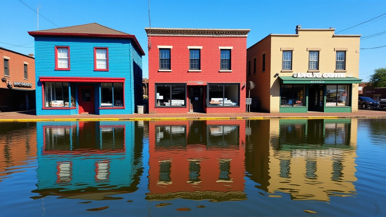
Understanding High-Tide Flooding
You might be wondering, "What exactly is high-tide flooding?" It’s often called "sunny day flooding." It occurs when astronomical high tides—driven by the gravitational pull of the moon and sun—push water levels above the threshold where infrastructure can handle it.
Historically, NOAA defines high-tide flooding as occurring when water levels reach at least 1 to 2 feet higher than the average high tide. In recent years, thanks to sea level rise, that threshold is being crossed more often. During El Niño years, sea surface temperatures rise, causing thermal expansion of the water and shifting winds that pile water against certain coastlines.
The result? Streets underwater, sewage systems overwhelmed, and property damage—all without a single raindrop falling from the sky. It’s insidious because it’s gradual, yet cumulative. The erosion happens every time the tide goes out, leaving behind sediment and weakened foundations.
Regional Impacts: More Than Just Coastal Cities
While the headline focuses on coastal flooding, El Niño’s reach extends inland, particularly in the Southeast. Historical data from the National Weather Service reveals some telling statistics for the region:
- Flood Frequency: On average, El Niño years see 23.3 flood events per year in the Southeast U.S., compared to lower numbers during neutral or La Niña phases.
- Tornado Risk: Between 1950 and 2009, El Niño conditions were linked to approximately 15 tornadoes per year in the Southeast—nearly double the rate seen in other ENSO phases.
- Hurricane Activity: Interestingly, El Niño tends to suppress Atlantic hurricane formation due to increased vertical wind shear. So while coastal flooding rises, major hurricane threats may decrease slightly.
This creates a complex risk profile. Florida, for instance, faces above-average precipitation from fall through spring, increasing river flooding risks even as hurricane counts dip. Meanwhile, states like California and Oregon, which typically benefit from drier El Niño winters, must still contend with the amplified tidal forces battering their shores.
Global Ripple Effects
El Niño never plays fair geographically. While the U.S. braces for wetter winters and higher tides, other parts of the world experience opposite extremes. The University of Arizona’s Water Resources Research Center notes that past El Niño events have caused simultaneous flooding in Mozambique and Madagascar, while other regions suffered severe drought.
In Tanzania and parts of East Africa, rainfall patterns become erratic, disrupting agriculture and water supplies. These global shifts remind us that climate change isn’t a local issue—it’s a interconnected system. What happens in the Pacific affects farmers in Africa and fishermen in Peru.
Preparing for the Surge
So, what can communities do? NOAA isn’t just sounding alarms; they’re offering tools. The agency urges coastal managers and residents to utilize three key resources:
- Coastal Inundation Dashboard: Provides real-time and forecasted water levels, helping users visualize current flood risks.
- Monthly Outlooks: Offers daily flood likelihood predictions up to a year in advance, allowing for short-term planning.
- Annual Outlooks: Gives longer-term projections, including decadal trends, to inform infrastructure investment and policy decisions.
Local governments are already adapting. Some cities are raising roadways, installing pump stations, and restoring wetlands to act as natural buffers. Others are updating building codes to require higher elevations for new construction. It’s a costly battle, but one that’s becoming increasingly necessary.
The details of specific municipal responses vary, but the trend is clear: adaptation is no longer optional. As Sweet noted, the "brim" is getting closer to overflowing. Preparing now saves money—and lives—later.
Frequently Asked Questions
What is the "double whammy" mentioned by NOAA?
The "double whammy" refers to the combined impact of long-term sea level rise and the temporary elevation of water levels caused by El Niño. Sea level rise acts as the "first punch," raising baseline water levels close to infrastructure limits. El Niño serves as the "second punch," adding additional height to tides and increasing the frequency of flooding events, even without storms.
When is El Niño expected to peak in 2026?
NOAA’s Climate Prediction Center forecasts an 82% chance that El Niño will emerge by July 2026 and continue through February 2027 in the Northern Hemisphere. This period typically sees the strongest impacts on U.S. coastal tides and weather patterns.
How does El Niño affect hurricane activity?
El Niño generally reduces Atlantic hurricane activity. It increases vertical wind shear in the tropical Atlantic, which disrupts the formation and intensification of hurricanes. However, while major storm threats may decrease, the risk of coastal flooding from high tides remains high or increases.
Which U.S. regions are most at risk?
Both the East Coast and West Coast are expected to experience increased high-tide flooding. Additionally, the Southeast U.S., particularly Florida, faces higher risks of river flooding and tornadoes during El Niño winters due to increased precipitation and storminess.
What tools can I use to check flood risks?
NOAA recommends using the Coastal Inundation Dashboard for real-time water levels, Monthly Outlooks for daily flood likelihoods up to a year ahead, and Annual Outlooks for long-term projections. These tools help individuals and communities plan for potential flooding events.
Hello, my name is Theodore Kingswell and I am an expert in the field of education. With a background in teaching and educational research, I have dedicated my life to improving the quality of education for students of all ages. I am passionate about sharing my insights and experiences through my writing, as well as collaborating with others to create innovative solutions for the challenges facing education today. In my free time, I enjoy cycling, reading educational journals, and nature photography, alongside attending conferences and workshops to stay up-to-date on the latest trends and developments in the world of education.